Isolated, untrammeled and seldom visited, Katavi is a true wilderness, providing the few intrepid souls who make it there with a thrilling taste of Africa as it must have been a century ago. Tanzania’s third largest national park, it lies in the remote southwest of the country, within a truncated arm of the Rift Valley that terminates in the shallow, brooding expanse of Lake Rukwa.
The bulk of Katavi supports a hypnotically featureless cover of tangled brachystegia woodland, home to substantial but elusive populations of the localised eland, sable and roan antelopes. But the main focus for game viewing within the park is the Katuma River and associated floodplains such as the seasonal Lakes Katavi and Chada. During the rainy season, these lush, marshy lakes are a haven for myriad waterbirds, and they also support Tanzania’s densest concentrations of hippo and crocodile.
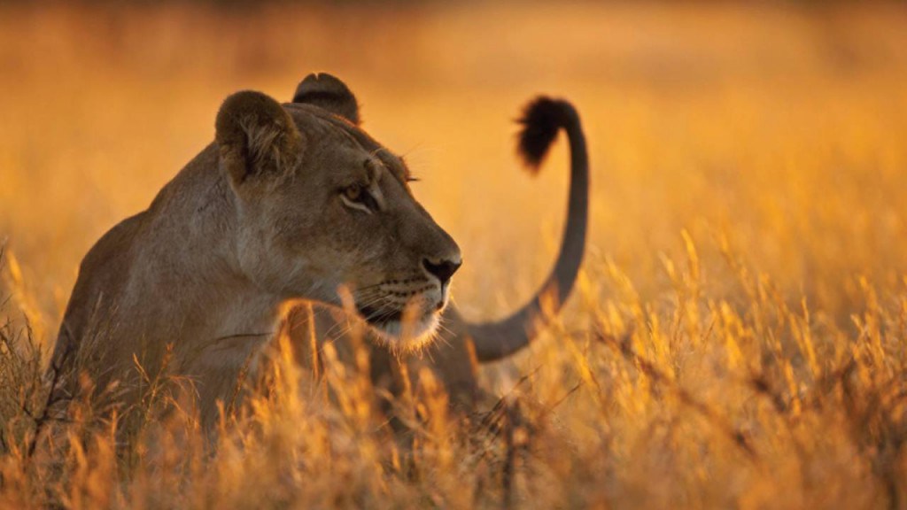
It is during the dry season, when the floodwaters retreat, that Katavi truly comes into its own. The Katuma, reduced to a shallow, muddy trickle, forms the only source of drinking water for miles around, and the flanking floodplains support game concentrations that defy belief. An estimated 4,000 elephants might converge on the area, together with several herds of 1,000-plus buffalo, while an abundance of giraffe, zebra, impala and reedbuck provide easy pickings for the numerous lion prides and spotted hyena clans whose territories converge on the floodplains.
Katavi’s most singular wildlife spectacle is provided by its hippos. Towards the end of the dry season, up to 200 individuals might flop together in any riverine pool of sufficient depth. And as more hippos gather in one place, so does male rivalry heat up – bloody territorial fights are an everyday occurrence, with the vanquished male forced to lurk hapless on the open plains until it gathers sufficient confidence to mount another challenge.
About Katavi National Park
Size: 4,471 sq km (1,727 sq miles). Location; Southwest Tanzania, east of Lake Tanganyika.
The headquarters at Sitalike lie 40km (25 miles) south of Mpanda town.
Getting there
Charter flights from Dar or Arusha. A tough but spectacular day’s drive from Mbeya (550 km/340 miles), or in the dry season only from Kigoma (390 km/240 miles). It is possible to reach Mpanda by rail from Dar via Tabora, then to catch public transport to Sitalike, where game drives can be arranged. If travelling overland, allow plenty of time to get there and back.
What to do
Walking, driving and camping safaris. Near Lake Katavi, visit the tamarind tree inhabited by the spirit of the legendary hunter Katabi (for whom the park is named) – offerings are still left here by locals seeking the spirit’s blessing.
When to go
The dry season (May-October). Roads within the park are often flooded during the rainy season but may be passable from mid-December to February.
Accommodation
Two seasonal luxury tented camps overlooking Lake Chada. A resthouse at Sitalike and campsites inside the park. Basic but clean hotels at Mpanda.
